
Closest street address to Piestewa Peak Summit Trail
Piestewa Peak Summit Trail #300
Phoenix, AZ 85016
Trail coordinates
Lat: 33.5438024
Lng: -112.02346269999998
About the trail
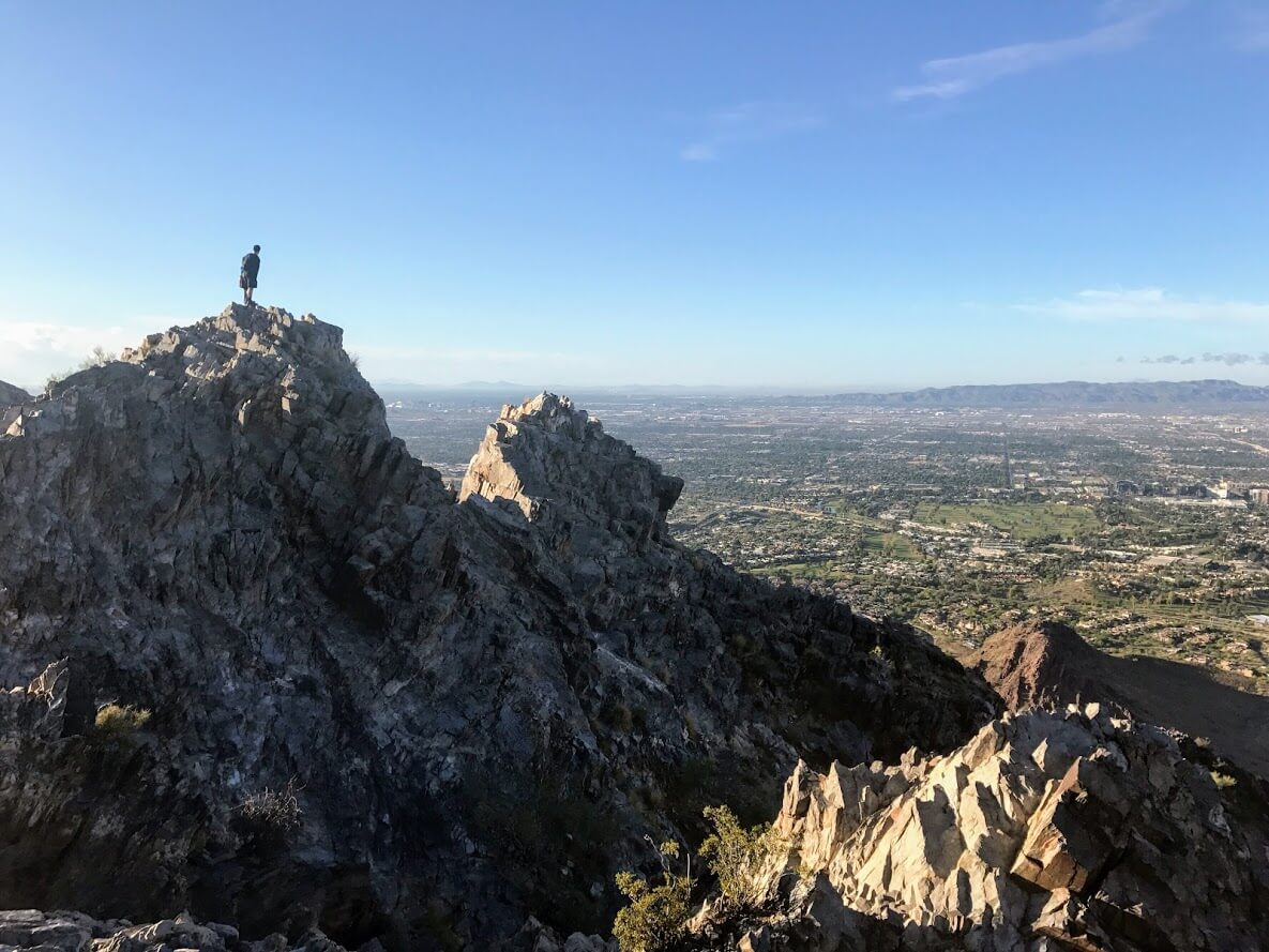
Piestewa Peak Summit Trail is a 2.5 mi out and back hike in Phoenix, AZ. Piestewa Peak Summit Trail was pretty busy during our visit, and people were primarily hiking (although there were people running on this trail too). Overall, the terrain was very challenging, and effort-wise was very hard. It’s definitely a great hike for fitness. There aren’t opportunities to modify the route to create a longer or shorter distance (with the exception of turning back early).
How to locate Piestewa Peak Summit Trail within Piestewa Peak Park
Head into the park and follow the entrance road until you get to the first parking lot after the gate. The trailhead is near the small shelter. See the official guide from the city of Phoenix.
How to prepare to hike Piestewa Peak Summit Trail
Make sure to bring shoes that can be worn in dry, rocky environments. The trail is mostly un-shaded, and sunscreen is always recommended (although shade may provide some cover). Bring plenty of water. It’s advisable to print a map of the trail before heading out.
Other pieces of advice
- Even early in the morning (before dawn), there can be many people on this trail. When descending, yield to give ascending hikers the right of way.
- Make sure to bring water. The trail is rated difficult by the city of Phoenix, and water will be a welcomed item when you reach the summit.
- The lower part of the trail is much less difficult than the upper part. As you ascend, you’ll notice that the hike gets steeper. Pace yourself and try to hike at a consistent pace.
More on this hike from the podcast Hiking Piestewa Peak, and talking John Muir Trail prep