Closest street address to Slaughter Creek Trail
9901 Farm-to-Market 1826
Austin, TX 78737
Trail coordinates
Lat: 30.2068733
Lng: -97.90483990000001
Finding Slaughter Creek Trail
As I was preparing to head to Slaughter Creek Trail for a quick hike, I learned from Alltrails that I might have a difficult time finding the trail head. I went to Circle C Ranch Metropolitan Park first (the address listed in Alltrails), and if it hadn’t been for directions from some people I bumped into, I’m not sure I would have ever made it to the right place. Instead of turning into Circle C, go past the park on Slaughter Lane until it ends. Turn left onto 1826, and Slaughter Creek Trail will be on the left, right after the creek.
What to wear
This is a rocky trail with no water. The best shoes for hiking this trail are athletic or hiking shoes. Open-toed shoes are not advised.
A bit about Slaughter Creek Trail
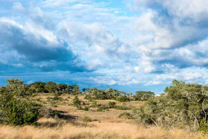
Slaughter Creek Trail is a beautiful volunteer-made trail that whips through the Slaughter Creek Watershed, buried pipelines, and a few backyards. The trail is well marked with signs describing different features you’ll see as you’re hiking. The route itself is popular for mountain biking, equestrian activities, trail running, and hiking. The elevation changes aren’t challenging, but there are a few quick drops of a couple feet along the way. Bikers start at the end of the trail, and hikers start at the beginning to keep both aware of each other.
If you’re looking for an adjustable hike (it’s a loop, so you can do multiple laps) or just a few quick miles, Slaughter Creek Trail is a great place. It’s south of the city, so it’s easy to get to, even when traffic is backed up. The gates to the park open and close on a timer, so check for signs with the gate schedule. Oh, and keep your head up. Some passes obscure oncoming mountain biking traffic.
If you’ve been to Slaughter Creek Trail, or decide to go… leave your tips and thoughts for other hikers or bikers in the comments section!

