
Closest street address to Brushy Creek Regional Trail
Brushy Creek Loop
Cedar Park, TX 78613
Trail coordinates
Lat: 30.5087342
Lng: -97.76742489999998
Finding Brushy Creek Regional Trail
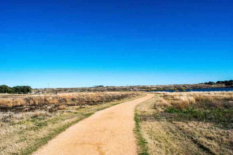
Brushy Creek Regional Trail (183A Shared Use Path) is a nature trail with a suburban feel. The mostly concrete trail is located near Round Rock, TX (north of Austin, TX) and runs 7+ miles. Brushy Creek Regional Trail is hugely popular with bikers, walkers, and runners, and there are parts of the route that are designated angling areas. I picked the trail up at 183A and Brushy Creek Road. There’s parking under the highway bridge near the toll plaza, with easy, safe, and quick access to the trail head. For another access point (with more parking), navigate directly to Brushy Creek Lake Park. Visitors from South Austin should expect to spend 40-60 minutes driving to get to the trail during rush hour.
About Brushy Creek Regional Trail
The first two miles in the direction of Brushy Creek Lake Park twist through plenty of forest nestled against Brushy Creek. With modest ups and downs along a concrete path, this isn’t a challenging hike (more of a walk), but is definitely picturesque. Around 2.2 MI there’s a big sports field with additional parking if you’d prefer to pick the trail up there. The loop at Brushy Creek Lake Park hosts a rock labyrinth, plenty of parking, a small canoe launch site, picnic area, and playground equipment (there are also bathrooms onsite). I chose to head back when I reached the park, but there’s plenty more trail on the other side to explore (I think another 5-6 miles). The park is also a popular place for kite flying (I even saw a human with a parasail trying to fly himself!) and fall and winter family photos.