
Closest street address to Mary Moore Searight Park
907 West Slaughter Lane
Austin, TX 78748
Trail coordinates
Lat: 30.15873509999999
Lng: -97.80824439999998
About Mary Moore Searight Park Trail
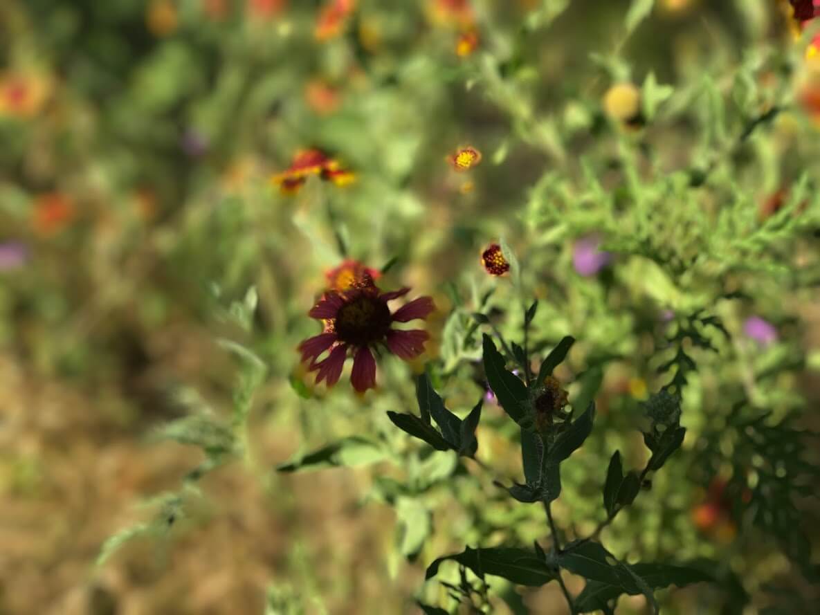
Mary Moore Searight Park Trail is a 4 mi loop hike in Austin. Mary Moore Searight Park Trail was kinda busy during our visit, and people were primarily walking (although there were people hiking and running on this trail too). Overall, the terrain was somewhat technically difficult, and effort-wise, the trail was easy. It’s definitely a fun hike. There are opportunities to modify the route to create a longer or shorter distance depending on what you’re looking for.
How to locate Mary Moore Searight Park Trail within Mary Moore Searight Metropolitan Park
When you park, head to the right of the bathrooms. The trailhead is indicated with a large board. If you find yourself on a disc golf course or at the sand volleyball courts, you’ve gone the wrong direction.
How to prepare to hike Mary Moore Searight Park Trail
Make sure to bring shoes that can be worn in wet and rocky environments. The trail is mostly shaded, but sunscreen is always recommended (although shade may provide some cover). Bring plenty of water, although potable water may be available on premises. It’s advisable to print a map of the trail before heading out.
Other pieces of advice
- Functional GPS is important at this park. There are many opportunities to off-trail, and seeing a topographical satellite map can be very helpful.
- The AllTrails map for Mary Moore Searight Park Trail is a fairly difficult route. Make sure to look where you’re going, especially at water crossings, and be prepared for some simple scrambles.
- Signs are minimal at this park. Don’t expect to depend on directional signs here.