
Closest street address to PG&E Trail
22500 Cristo Rey Dr
Los Altos, CA 94022
Trail coordinates
Lat: 37.3297529
Lng: -122.10931069999998
About the trail
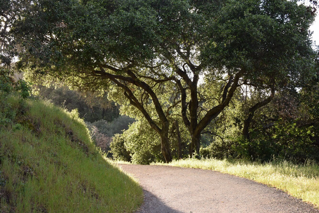
PG&E Trail is a ~7.5 mi loop hike in Los Altos, CA. PG&E Trail was pretty busy during our visit, and people were primarily walking (although there were people running on this trail too). Overall, the terrain was not really challenging, and effort-wise was pretty easy (but mostly uphill for the first half). It’s definitely a great hike for fitness. There are opportunities to modify the route to create a longer or shorter distance depending on what you’re looking for.
How to locate PG&E Trail within Rancho San Antonio County Park
Finding the trail is pretty straightforward. Enter the parking lot and look for the trailhead markings.
How to prepare to hike PG&E Trail
Make sure to bring shoes that can be worn in dry environments. The trail is a mix of shaded and un-shaded area, but sunscreen is always recommended (although shade may provide some cover). Bring plenty of water. It’s advisable to print a map of the trail before heading out, although this trail is pretty straightforward.
Other pieces of advice
- The trailhead gives way to an almost immediate climb to multiple routes that either twist around a picturesque ridge or ascend further into the tree-lined mountainside.
- While this is a nice place for a quick jog (the trail was busy with hikers and joggers, even at dusk) during lunch or after work, it wouldn’t be my first pick. Beyond well-manicured trails and the occasional overlook, there are more serene and scenic Open Space Preserves in the area such as Russian Ridge Open Space Preserve.
Stunning photos. Well crafted post, Mendel.